-40%
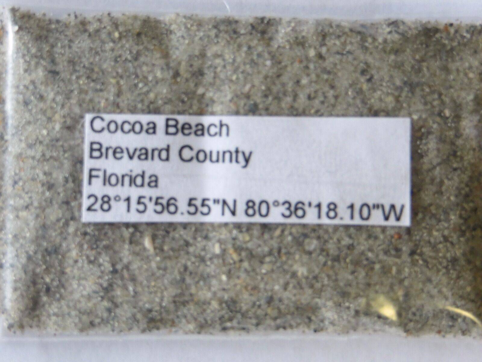
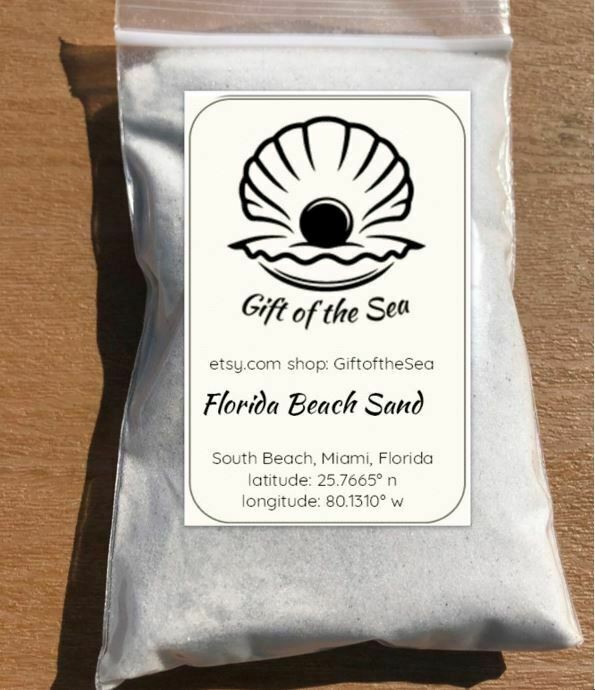
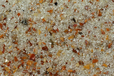
Florida Cocoa Beach Florida Sand Sample
$ 0.52
- Description
- Size Guide
Description
Making multiple purchases?Just add items to your cart. When finished shopping, click on the button at upper right in the Shopping Cart window that says,
“Request total from seller.”
Do not proceed to checkout.
We will send an eBay invoice with the correct combined shipping.
The combined shipping will often be less than eBay shows. Please wait for that invoice before paying.
15 ml bag full sample, Be sure to check out my future auctions for thousands of sand samples covering the World, US Coast, Caribbean Beaches, Lakes Rivers, Dunes and rare areas. Thanks for looking.
Will Combine Shipping
winning multiple auctions ask for invoice, THANKS
Florida sands can be sold
separate
for .50 each
1 Indian Key,Monroe County,25°48'35.93"N 81°27'49.19"W
2 Kingston Key,Monroe County,25°48'10.48"N 81°27'22.68"W
3 Jenkins Key,Monroe County,25°49'3.75"N 81°26'55.55"W
4 Jack Daniels Key,Monroe County,25°47'53.87"N 81°26'23.49"W
5 Comer Key,Monroe County,25°47'26.25"N 81°25'40.30"W
6 Jewell Key,Monroe County,25°47'12.63"N 81°25'6.66"W
7 Demijohn Key,Monroe County,25°46'45.78"N 81°23'45.20"W
8 Turtle Key,Monroe County,25°46'1.07"N 81°22'46.64"W
9 Lumber Key,Monroe County,25°45'31.36"N 81°22'44.58"W
10 Rabbit Key,Monroe County,25°44'58.48"N 81°22'52.99"W
11 Crate Key,Monroe County,25°44'39.04"N 81°22'12.65"W
12 Joe Kemp Key,Monroe County,25°44'46.70"N 81°21'28.24"W
13 Mormon Key Beach,Monroe County,25°40'18.80"N 81°17'26.29"W
14 New Turkey Key,Monroe County,25°38'46.50"N 81°16'54.77"W
15 Turkey Key,Monroe County,25°38'26.03"N 81°16'25.12"W
16 North Plover Key,Monroe County,25°37'27.58"N 81°16'23.99"W
17 Plover Key,Seminole Point,Monroe County,25°36'52.65"N 81°16'16.82"W
18 Wood Key,Monroe County,25°34'53.59"N 81°14'20.08"W
19 Hog Key,Monroe County,25°34'23.54"N 81°13'57.30"W
20 Lostmans Key,Monroe County,25°32'58.42"N 81°12'36.88"W
21 Women Key,Monroe County,24°31'24.93"N 81°58'20.08"W
22 Tavernier Key Key Largo,Monroe County 25° 1'26.22"N 80°29'39.45"W
23 Plantation Key Islamorada Monroe County,24°57'44.68"N 80°34'10.91"W
24 Anna's Beach Islamorada Upper Matecumbe Key,24°50'46.87"N 80°44'41.41"W
25 Pigeon Key,Monroe County,24°42'12.00"N 81° 9'19.74"W
26 Bahia Honda Key,Monroe County,24°39'38.10"N 81°16'17.17"W
27 Duck Key,Monroe County,24°46'40.74"N 80°54'54.43"W
28 Long Key,Monroe County,24°48'43.43"N 80°49'31.86"W
29 Little Duck Key,Monroe County,24°40'51.48"N 81°13'50.48"W
30 No Name Key,Monroe County,24°41'51.99"N 81°19'4.79"W
31 Sombrero Beach Boot Key Marathon,Monroe County,24°41'31.84"N 81° 5'0.28"W
32 Smathers Beach Key West,Monroe County,24°33'8.15"N 81°46'2.79"W
33 Ft Zachery Taylor State Park Key West Monroe County,,24°32'42.98"N 81°48'34.47"W
34 Sugarloaf Key,Monroe County,24° 39' 00" N - 81° 34' 21" W
35 Sunset Key, Key West,Monroe County, 24°33'48.32"N 81°48'48.51"W
36 Wisteria Island Key West,Monroe County, 24°33'58.74"N 81°48'43.98"W
37 Cudjoe Key ,Lower Florida Keys,Monroe Co, 24°39'46.91"N 81°30'6.04"W
38 Snipe Keys ,Lower Florida Keys,Monroe Co,24°40'37.53"N 81°39'13.04"W
39 Tarpon Belly Key ,Lower Florida Keys,Monroe Co,24°43'44.91"N 81°31'10.14"W
40 Boca Grande Key,Lower Keys,Monroe County,24°32'5.93"N82° 0'35.35"W
41 Geiger Beach Boca Chica Key,Monroe County,24°33'44.09"N 81°40'44.62"W
42 Captain Key,Monroe County,25° 1'33.75"N 80°38'10.60"W
43 Russell Key,Monroe County,25° 4'42.11"N 80°38'52.94"W
44 Bob Allen Keys,Monroe County,25° 1'59.83"N 80°39'50.59"W
45 Anglers Reef Resort,Islamorada,Monroe County,24°56'52.93"N 80°35'40.00"W
46 John Pennekamp Coral Reef,State Park,Monroe County,Florida Keys,25° 7'32.60"N 80°24'19.28"W
47 Coco Plum Beach,Monroe County,Florida Keys,24°43'46.14"N 81° 0'4.65"W
48 Missouri Key,Monroe County,Florida Keys,24°40'33.76"N 81°14'20.12"W
49 Ohio Key,Monroe County,Florida Keys,24°40'22.37"N 81°14'35.03"W
50 Calusa Beach,Bahia Honda State Park,Monroe County,Florida Keys,24°39'21.07"N 81°16'47.63"W
51 Loggerhead Beach,Bahia Honda State Park,Monroe County,Florida Keys,24°39'20.56"N 81°16'38.05"W
52 Sandspur Beach,Bahia Honda State Park,Monroe County,Florida Keys,24°39'49.30"N 81°15'31.13"W
53 Simonton Beach,Monroe County,Florida Keys,Key West,24°33'43.32"N 81°48'20.47"W
54 Dog Beach,Monroe County,Florida Keys,Key West,24°32'49.54"N 81°47'34.16"W
55 Higgs Beach,Monroe County,Florida Keys,Key West,24°32'48.79"N 81°47'15.78"W,
56 Rest Beach,Monroe County,Florida Keys,Key West,24°32'52.44"N 81°47'3.43"W
57 Garden Key,North Beach-Fort Jefferson,Dry Tortugas National Park,(Crushed Coral Sand, Shoreline),Florida Keys,Monroe County,24°37'46.65"N 82°52'19.71"W
58 Garden Key,North Beach-Fort Jefferson,Dry Tortugas National Park,Florida Keys,Monroe County,24°37'46.74"N 82°52'19.37"W
59 Flamingo Beach,Everglades National Park,Eastern End of Cape Sable,End of the 10,000 Islands,Monroe County,25° 8'13.03"N 80°55'56.09"W
60 Shell Key,Monroe County,24°55'40.20"N 80°39'49.27"W
61 Money Key,Florida Keys,24°40'59.80"N 81°12'56.89"W (Key along 7 Mile Bridge Florida Keys)
62 Marquesas Key Beach,Florida Keys,Monroe County,24°32'54.31"N 82° 9'36.59"W (By Far The Hardest Sand To Get By Boat. Between Key West and Dry Tortugas)
63 Southernmost Point,(In water 2 Ft deep),in the Continental United States,90 Miles to Cuba,Monroe County,Florida Keys,Key West,24°32'47.23"N 81°47'50.97"W
